Kvinnafossen Waterfall
Kvinnafossen Waterfall
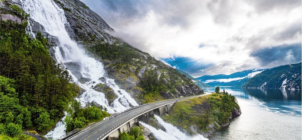
A 120-meter waterfall alongside Route 55, 10 km from Leikanger, visible both from the road and from Sognefjord cruise boats.
Kvinnafossen is a waterfall approximately 120 meters high located along Route 55, about ten kilometers west of Leikanger, in the Sogn og Fjordane region. It sits directly alongside the road connecting Leikanger to Hella, making it visible and accessible without significant effort from the edge of Sognefjord.
Why stop at Kvinnafossen
The appeal of Kvinnafossen lies in the rare combination of a high waterfall and immediate roadside access. Unlike many Norwegian waterfalls that require a hiking approach, this one is viewed from a parking area overlooking the fjord, making it a logical stop on the route between Leikanger and Hella.
The waterfall is also associated with a body of local legends that shaped its name. In Norwegian, "kvinne" means "woman." According to local tradition, when the flow is high, a rock formation resembling a female silhouette becomes visible on the cliff face. Another version recounts that a woman lost her life in the cascade's waters. A more pragmatic etymological theory links the name to the moaning sounds produced by the water during peak flows.
What you'll observe on-site
The waterfall from the road
The main viewpoint faces the falls from Route 55. A second angle opens up from the bridge that crosses the watercourse just in front of the cascade. It is generally from this spot that you best perceive the full height of the flow and, during high-water season, the spray kicked up by the impact.
Sognefjord and its vessels
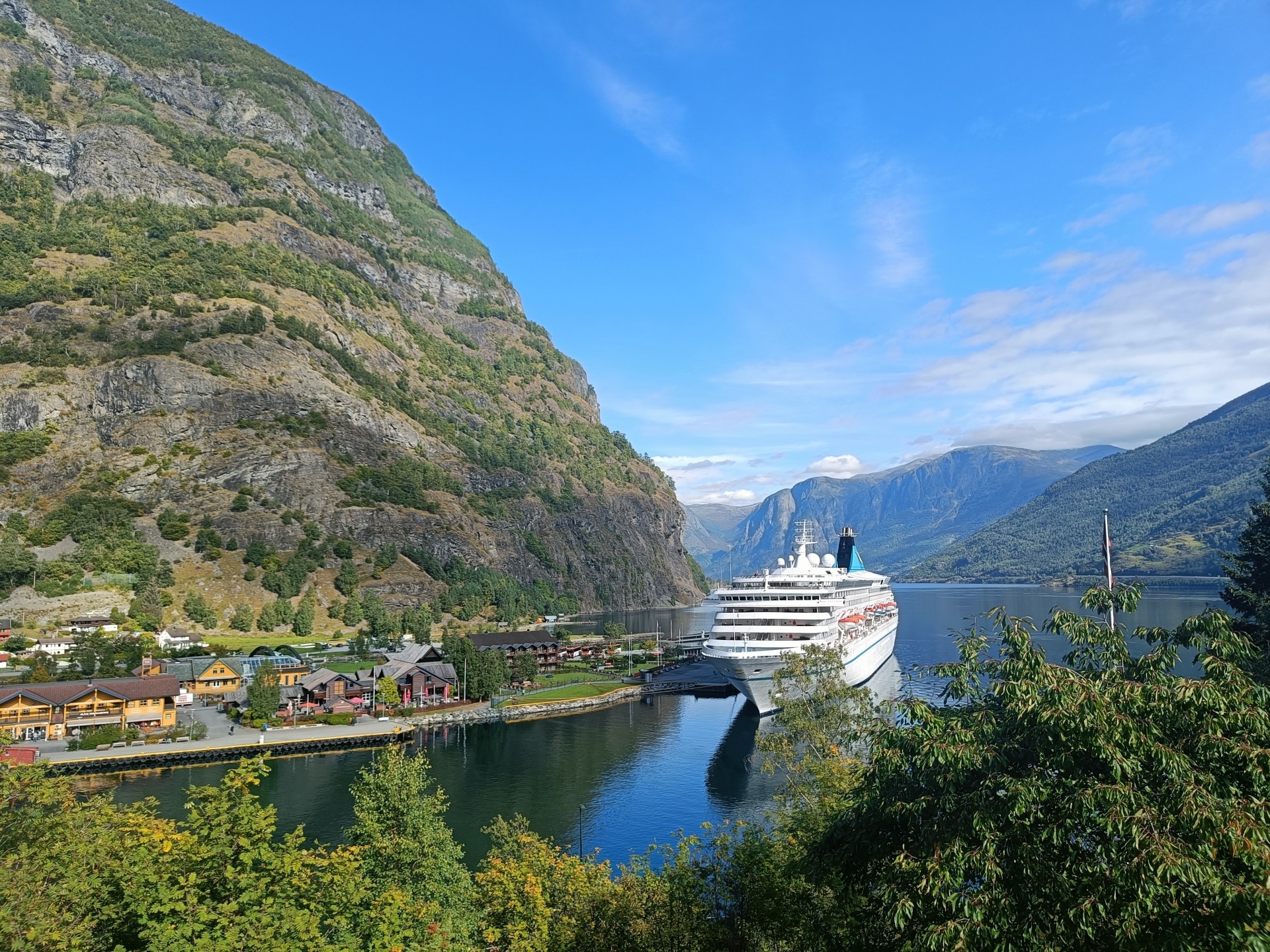
Kvinnafossen can also be discovered from the water. Cruise boats traveling on Sognefjord approach the shoreline to offer passengers a close-up view of the waterfall. This reversed perspective, from the fjord toward the cliff, usefully complements observation from the road.
Salmon fishing structures
Along the coastline between Leikanger and Hella, you'll notice old wooden structures installed at the fjord's edge. These are traditional facilities designed for wild salmon fishing, witnesses to ancient practices still visible in the landscape.
The Barddalen mountain road
To extend your visit, the Barddalen mountain road allows you to reach the Førde region through a succession of hairpin turns in the valley. Several rest stops line the route and overlook the surrounding relief.
Practical information
- Car access: the waterfall is located directly alongside Route 55. A parking area is available in immediate proximity, allowing for a brief stop (10 to 30 minutes is sufficient for viewing).
- Foot access to the base: there is no official path leading to the base of the waterfall. The surroundings are steep and slippery, particularly during high flows. It is recommended to stay in secure areas near the road and parking lot.
- Spray: during high flow, water spray can reach visitors near the bridge. Pack a waterproof layer if you plan to linger.
- Safety: avoid crossing barriers or descending onto wet rocks downstream; swimming at the foot of the falls is not feasible.
When to visit
The most favorable period corresponds to early and mid-summer, when snowmelt at higher elevations feeds the waterfall at full capacity. Spring, at the time of thaw, also provides excellent viewing conditions. In late summer and autumn, flow decreases noticeably and the falls lose much of their magnitude. In winter, part of the watercourse may be seized by ice.
Nearby attractions
- Leikanger: administrative village on the northern shore of Sognefjord, the logical starting point for your visit.
- Nærøyfjord: a narrow arm of Sognefjord inscribed on the UNESCO World Heritage list.
- Geirangerfjord: another major fjord in the region, renowned for its hanging waterfalls.
- Hardanger Bridge: a remarkable road structure to the south, on the route connecting Bergen to the fjords.
Frequently asked questions
Frequently asked questions
Planning your Norwegian adventure
Kvinnafossen fits naturally into an itinerary along Sognefjord, between Leikanger, Hella, and the interior fjords. To build a trip that combines waterfalls, fjords, and traditional villages, explore our Norway journeys.
Interested in this visit?
We can include it in your personalised itinerary.